Live For Today, Hope For Tomorrow!! A. Einstein |
Email Dave |
|
|


|
|
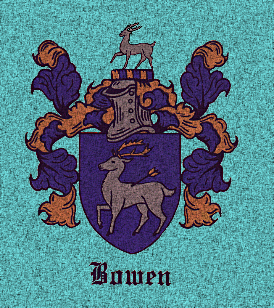 Bowen Coat of Arms Bristol Parish Wm. son of William and amy Bowen Born 2d Dcemr 1729 Bapt 10th May 1730 Lucie D of Robert and Avis Bowen born 23th August 1730 David of Wm. & Amy Bowen born 13th Novr 1731 bapt 30th July 1732 Ephraim son of Robt & Avis Bowen born 12th Feby 1731 bapt 30th July 1732 Jesse s of William and Amy Bowyon born 11th March 1734 The question is where in Bristol Parish were they living? Can we pick up on them there and go even farther back? What families were they associated with in Bristol Parish? At this point, no solid proof has been found to associate our Bowens with any particular part of the parish or specific families, but we do have some clues. We know that a daughter of William Bowen Sr and Amy (apparently named Edith Bowen) married Samuel Kirks. We know that Littleberry Bowen Kirks was the stepson of both Jesse Bowen and Littleberry Bowen - and may have been kin through the Kirks or some other unknown way as well. We know that the Bowens were closely associated with the Vaughans, and the Vaughan records also showed a probable connection to the Kirks family. We know that the name Andrews appeared at least twice in later generations of Bowens suggesting a possible early Andrews connection. Two Andrews children and two Bowen children were all baptised on the same date in Bristol Parish. The 1731 Henrico will of Thomas Andrews Sr named a daughter Ame who mightpossibly have been the wife of William Bowen Sr (possibility only, no proof). Daughter Ame Andrews was certainly the sister of William Andrews Sr who lived in Dinwiddie Co (previously Prince George Co) but owned additional land in Lunenburg and Mecklenburg near the Vaughans and Bowens. Two sons of William Andrews Sr and Avis were apparently living on this land when they witnessed the will of James Vaughan Jr in 1740. James Vaughan Jr owned the tract adjoining the Andrews land. Could tracing the Andrews, Vaughans, and Kirks lead us to the Bowens? We can fairly well place the location of Thomas Andrews Sr's land in Henrico from his patent. Patent granted to Thomas Andrews 20 October 1704 394 acres Henrico Co on the North side of Appamattocka River adjoining the Land of Wm. Taylor (name also given in the patent as Traylor which seems to be correct) and Timothy Harris. One of the lines was described as "beginning at a forked hiccory belonging to the land of William Taylor thence up the river west 82 poles to a corner hiccory thence leaving the river..." Patents 9, p 625 Obviously Thomas Andrews Sr's land was not just somewhere on the north side of the river - it was actually fronting the river. Chesterfield Co was formed from this part of Henrico Co in 1749, and later records for the Andrews land and many of Thomas Andrews Sr's children can be found in that county. Thomas Andrews Sr's son, William Andrews Sr, was granted a patent for 100 acres in Prince George Co on Wallace's Creek and Rocky Branch 28 Sept 1728. (Patents 13, p 428, 429) However, a patent granted to Nicholas Overby Sr 22 June 1722 for 292 acres Prince George Co on the lower side of Willis's [sic] Creek mentioned William Andrews' land six years before the 1728 grant. (Patents 11, p 127) Since years passed between the survey for the patent and the actual grant, this indicates that William Andrews was in possession of a piece of land in the Wallace's Creek area at least a few years prior to 1722 since Overby's land would have been surveyed several years before the 1722 grant. Certainly William Andrews Sr held that land by 1720 at the very latest - probably earlier than that. Later records associate William Andrews' land with Picture Branch which is south of Wallace's Branch but still in the same area. This part of Prince George Co fell into Dinwiddie Co when the new county was formed in 1752. William Andrews Sr's 1770 will stated he was from Dinwiddie Co. The William Andrews Sr land lay on the south side of the Appomattox River in Prince George Co, but that was still very near the location of the Thomas Andrews Sr land on the north side of the river in Henrico/Chesterfield. Thomas Andrews Sr's land near Wallace's Creek and William Andrews Sr's land on the north side of the Appomattox were certainly no more than five miles apart, perhaps only one or two miles. So, from this we know that in the early 1730's when our Bowens were in Bristol Parish, Thomas Andrews Sr's land was in Henrico Co on the north side of the Appomattox River actually on the river, while William Andrews Sr's land was only a few miles away across the river on the south side in Prince George Co. Were there any signs of Bowens or Vaughans or Kirks in this area? YES to all three!! Patent granted to William Vaughan 20 April 1680 1225 acres Charles City Co on the south side of Appamattox River, adjoining the land of Thos. Lowe, John Evens, Wm. Johnson and the Ballows &c. 100 acres being part of 140 acres formerly purchased of Hugh Lee lying on S side Appomattox R bounded NNE upon ye ??? ... ye land of Tho Lowe ... 100 acres formerly purchased of Robert Burgess ... Patents 7, p 30 This patent is very difficult to decipher and understand. This was William Vaughan Sr, whose land had been divided into several equal tracts on the 1704 Prince George Co quit rent roll between obvious sons John Vaughan, Samuel Vaughan, Daniel Vaughan, James Vaughan, Richard Vaughan, William Vaughan, and Nicholas Vaughan, each holding 169 acres from their father's estate. (See Herbert A and Katherine Elliott research) Although the grant to William Vaughan in 1680 referred to the land as lying in Charles City Co, it was clearly on the south side of the Appomattox River - land that later fell into Prince George Co when that county was created in 1703. Notice the mention of Thomas Lowe's adjoining land. Patent granted to William & Richard Vaghan [Vaughan] 28 Apr 1691 281 acres Charles City Co, Bristol Parish, west side Muncusneck Maine Swamp. Mentions a corner ash now belonging to lands of Thomas Low, a corner black oak standing on Hatcher's Run, down Hatcher's Run. Patents 8, p 149d Patent granted to William Vaughan & Richard Vaughan 15 Oct 1698 280 acres Charles City Co west side Muncusneck Main Swamp. Mentions a corner [???] tree belonging to the land of William Low, a corner black oak standing on Hatcher's Run, down the said Hatcher's Run. Patents 9, p 156 This is certainly the same Vaughan family and land in the same location, although this was additional adjoining land and not the exact same tract that William Vaughan Sr was granted in 1680. The later patents place the Vaughan land on Hatcher's Run. Hatcher's Run was very near the William Andrews Sr land near Wallace's Creek and Picture Branch in present Dinwiddie Co. I have not been able to determine the exact location of Muncusneck Swamp. 1704 quit rents Daniell Vaughan Prince George County 169 ac. James Vaughan Prince George County 169 ac. John Vaughan Prince George County 169 ac. Nicholas Vaughan Prince George County 169 ac. Richard Vaughan Prince George County 309 ac. * Samuel Vaughan Prince George County 169 ac. William Vaughan Prince George County 309 ac. *[* includes 140 additional acres, half of 280 acres patented jointly by William and Richard Vaughan in 1691 and renewed in 1698. Without the additional 140 acres, William and Richard would have held 169 acres each.] The research of Herbert A and Katherine Elliott provides later records for the 280 acres granted to William Vaughan and Richard Vaughan as well as the 169 acres sold by James Vaughan Sr and wife Ann whose family was later so closely associated with the Bowens, Andrews, and Kirks in Brunswick/Lunenburg/Mecklenburg. Prince George Co Vaughan land records reflect a 1728 deed from Richard Vaughan to Robert "Boiling" for 169 acres. The record mentions Theophilus Field's line, formerly James Vaughan's and Samuel Vaughan's line. This was certainly part of the William Vaughan Sr estate land from the 1680 grant. Years later, in 1770, Robert Bowen mortgaged part of his land in Mecklenburg to a Theophilus Field of Prince George Co, but this was probably a later Theophilus Field. It's interesting to see the name Robert Bolling recorded as Boiling in this record. The land that James Vaughan Sr and wife Ann sold to Cornelius Fox was referred to as "Boyling Springs". James Vaughan's 169 acres had been described as adjoining Richard, Daniel, John, and William Vaughan. Apparently Robert Bolling already held land near the Vaughans at the time that James Vaughan Sr sold his part of his father's estate. [This does not seem to be a variant spelling for Bowen, but actually Bolling.] There was one more Vaughan patent for land in a slightly different location. This Samuel Vaughan's relationship to the William Vaughan Sr family has not been determined, but he could not have been the son Samuel Vaughan who had died prior to this patent. Perhaps he was a grandson. Patent granted to Samuel Vaughan 20 Sept 1745 317 acres Prince George Co on the lower side of George's Branch of Nummisseen Creek. Mentions Vaughan's line, Vaughan's corner, and runs up George's Branch to the beginning. Patents 22, p 534. Obviously some Vaughan already held adjoining land in the George's Branch area when this patent was surveyed. This land is not in the same location as the earlier Vaughan patents, but it's still quite nearby. Nummisseen Creek is now called Namozine Creek. It forms the border between present Dinwiddie and Amelia Counties and flows into the Appomattox River just a few miles upriver from the Thomas Andrews Sr and William Andrews Sr land and not far from Hatcher's Run mentioned in the earlier Vaughan patents. George's Branch is a small branch in present Dinwiddie Co on the south side of the Namozine Creek that flows northward emptying into the creek. A Thomas Kirke can also be associated with land on George's Branch. Interesting to find the names Vaughan and Kirke so close together although I don't know that Thomas Kirke of these records can be linked to the Kirks of Mecklenburg Co. He seems to have remained in the Prince George/Dinwiddie area after the Kirks began appearing in Brunswick and Lunenburg in association with the Bowens. Patent granted to Thomas Kirke 29 June 1739 200 acres Prince George Co on the lower side of Nummisseen Creek near the White Oak Path adjoining Christopher Rowland's land. Patents 18, p323 Patent granted to Thomas Kirke 25 July 1746 150 acres Prince George Co on the lower side of Georges Branch, adjoining Ravenscroft &c. Patents 24, p 305 These two pieces of land patented by Thomas Kirke adjoined each other on the east side of George's Branch just south of land granted to Thomas Ravenscroft and others in 1722. This is where we get our clue with the Bowens. Patent granted to Thomas Ravenscroft, William Hamlin & William Epes 18 Apr 1722 2593 acres Prince George Co on the lower side of Nummisseen Creek near the lower fork of Bowens Branch. Patents 11, p 83. Patent granted to Thomas Ravenscraft [Ravenscroft] of James City Co 2 Nov 1726 2418 acres Prince George Co on the lower side of Nummisseen Creek, 1592 acres part of 2593 acres granted sd Thomas Ravenscraft, William Hamlin and William Epes by a former patent. Mentions the mouth of Bowens Branch and running up Bowens Branch. Patents 13, p12 When drawn out, these patents indicate that Bowen's Branch was the next branch east of George's Branch on the south side of the Namozine River. Since the Thomas Kirke patents lay on the east side of George's Branch and Bowen's Branch was east of George's Branch, the Thomas Kirke land would have fallen between these two branches on the south side of the Namozine Creek. The Kirke patents do not mention Bowen's Branch, so his land probably did not extend quite as far east as the Ravenscroft patent. Bowen's Branch was also mentioned in a patent to John Gillum of Charles City Co dated 5 Sept 1723 for 366 acres in Prince George Co upon the forks of Bowen's Branch of Nummisseen Creek adjoining Robert Bolling. Patents 11 p 210 I have not been able to identify this Robert Bolling tract near Bowen's Branch. This was definitely Bolling and not Bowen. Robert Bolling and Drury Bolling seem to have patented several large tracts along the Namozine River, but none of the patents mentioned George's Branch or Bowen's Branch or seemed to overlay the Ravenscroft land. However, we know from the Vaughan records there was at least one tract of land belonging to Robert Bolling that also adjoined the 169 acres called "Boyling Springs" that James Vaughan Sr sold. We also know that Richard Vaughan later sold his 169 acres to Robert Bolling in 1728. Patent granted to Christopher Rowland 17 Aug 1725 200 acres Prince George Co on the lower side of Nummisseen Creek, beginning in the line of Thomas Ravenscraf, William Hamlin and William Epes. Mentions the fork of Bowen's Spring Branch, crossing the forks of the said Bowen's Branch. Patents 12, p274 Bowen's Spring Branch - Boyling Springs? Every other record refers to the branch as Bowen's Branch. Not once have I seen the name of this branch spelled Bolling or Boyling of Boiling. We have only that one mention of Robert Bolling's land that adjoined John Gillum's land that could in any way associated Bowen's Branch with Robert Bolling. Patent granted to John Bradshaw 12 Mar 1739 380 acres Prince George Co upon Bowen's Branch of Nummisseen Cr above John Gullums [Gillum's] land. Mentions a white oak on the upper side of Bowen's Branch. Patents 18, p545 Patent granted to John Bradshaw 25 July 1749 766 acres Prince George Co on both Sides of Bowens Branch of Nammisseen Creek, 380 acres part granted sd John Bradshaw 12 Mar 1739 and 386 acres the residue was formerly granted to William Hamlin 26 Mar 1739 which said land the said Hamlin hath since sold and conveyed unto the said John Bradshaw. Mentions corner of the land now in the tenure and occupation of Thomas Kirk, Ravencroft's line. Patents 27, p 217. So again we see that Thomas Kirke's patent was very near Bowen's Branch although not adjoining. Bowen's Branch had acquired its name at some time prior to 1722 when the Ravenscroft patent referred to it. Surely it must have taken its name from a Bowen previously associated with land in that area. Even though the branch was mentioned again and again, always spelled Bowen rather than Bolling or Boyling or Boiling, I have not been able to find any records for an early Bowen associated with this land. Out of all this we can determine that Thomas Andrews Sr and William Andrews Sr held land on either side of the Appomattox River. William Andrews' land fell into what is now known as Dinwiddie Co near Picture Branch and Wallace's Creek - very near Hatcher's Run. We can also determine that William Vaughan Sr's 1680 patent was somewhere near Hatcher's Run, surely not far from the William Andrews Sr land. Bowen's Branch and George's Branch lay on the south side of the Namozine River only five or six miles to the northwest of the William Andrews Sr land. Thomas Kirke and Samuel Vaughan held land on George's Branch just upstream (west) from Bowen's Branch. At this time, no land records for Robert Bowen or William Bowen or any earlier Bowen have been found to definitely connect our Bowens with this land on Bowen's Branch in Prince George Co. But we do know the Bowens were living in Bristol Parish at the time several of their children were born around 1730, and we know they were associated with Kirks, Vaughans, and Andrews a few years later in Brunswick/Lunenburg Co. We have all these families clustered together here within a five mile radius of each other. It all fits together perfectly except for one missing ingredient - an actual Bowen who can be associated with this land. Do we need to look at the Bolling family???? |